Real Estate Photography
Help buyers understand the whole property.
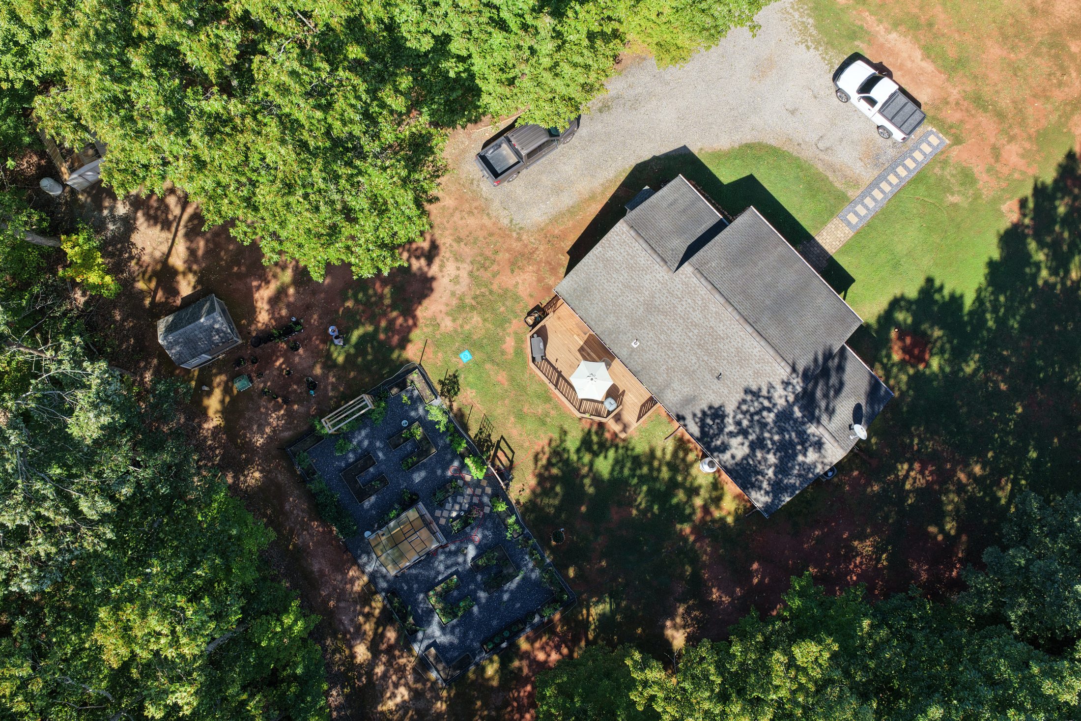
Aerial photographs and video show buildings, outdoor spaces, access and surrounding context for residential, commercial and rural listings.
Discuss your listing, delivery format and intended marketing use.
Construction Progress
Keep the project in view.
Capture site conditions before work begins, record progress at agreed milestones and document completion for owners, contractors and stakeholders.
Schedule one visit or connect your project to recurring Asset Monitoring.
Roof & Property Visual Inspections
See the details that are difficult to reach.
Photographic documentation of roof surfaces, gutters, flashing, façades and other visible exterior features supports maintenance planning and review by your contractor.
Coverage depends on safe access, visibility, weather and flight conditions.
Agriculture & Rural Land
More context across more ground.
Visual documentation for farms, pasture, vineyards, timber tracts, access roads and rural properties. Record visible conditions and changes through the seasons.
Explore the dedicated Agriculture & Rural Land page for more detail.
RidgeVector Asset Monitoring
A record that grows with your property.
Pair an initial baseline with recurring visits and visual comparison reports.
See Monitoring OptionsVisual aerial documentation only. Services do not constitute engineering, structural analysis, surveying, code inspection, insurance adjusting, appraisal or roofing diagnosis. Imagery supports review by the appropriate qualified professional.