01 / Baseline
Start with a clear record.
Document agreed areas and viewpoints at the first visit.

Baseline documentation and recurring aerial imaging for property owners, managers and project teams.
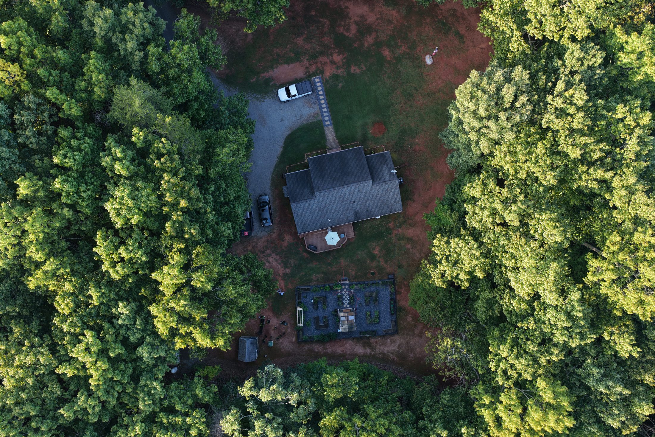
Start by agreeing on the assets, areas and viewpoints that matter. An initial baseline assessment records visible conditions. Return visits build a dated image history, with comparison reports organized around the agreed scope.
Useful for construction sites, commercial properties, roofs and exteriors, rural land, ponds and visible drainage features.
Document agreed areas and viewpoints at the first visit.
Monthly, quarterly or custom visits suited to your property.
Organized imagery and visual comparisons for your review.
An initial visit to establish agreed viewpoints and a dated visual reference of selected areas.
Monthly or quarterly visits with organized photographs and visual comparisons against earlier records.
Milestone, seasonal or project-specific visits planned around the changes you need to follow.
Each proposal defines coverage, visit frequency, deliverables, comparison format and pricing before work begins.
Repeat viewpoints are planned where safe and practical. Weather, access, vegetation and airspace can affect coverage or scheduling. Monitoring records visible conditions at the time of each visit.
Visual aerial documentation only. Services do not constitute engineering, structural analysis, surveying, code inspection, insurance adjusting, appraisal or roofing diagnosis. Imagery supports review by the appropriate qualified professional.