01 / Baseline
Start with a clear record.
Document agreed areas and viewpoints at the first visit.
A clearer perspective on your property, your project and what comes next. Aerial imaging for real estate, construction, roofs and rural land.
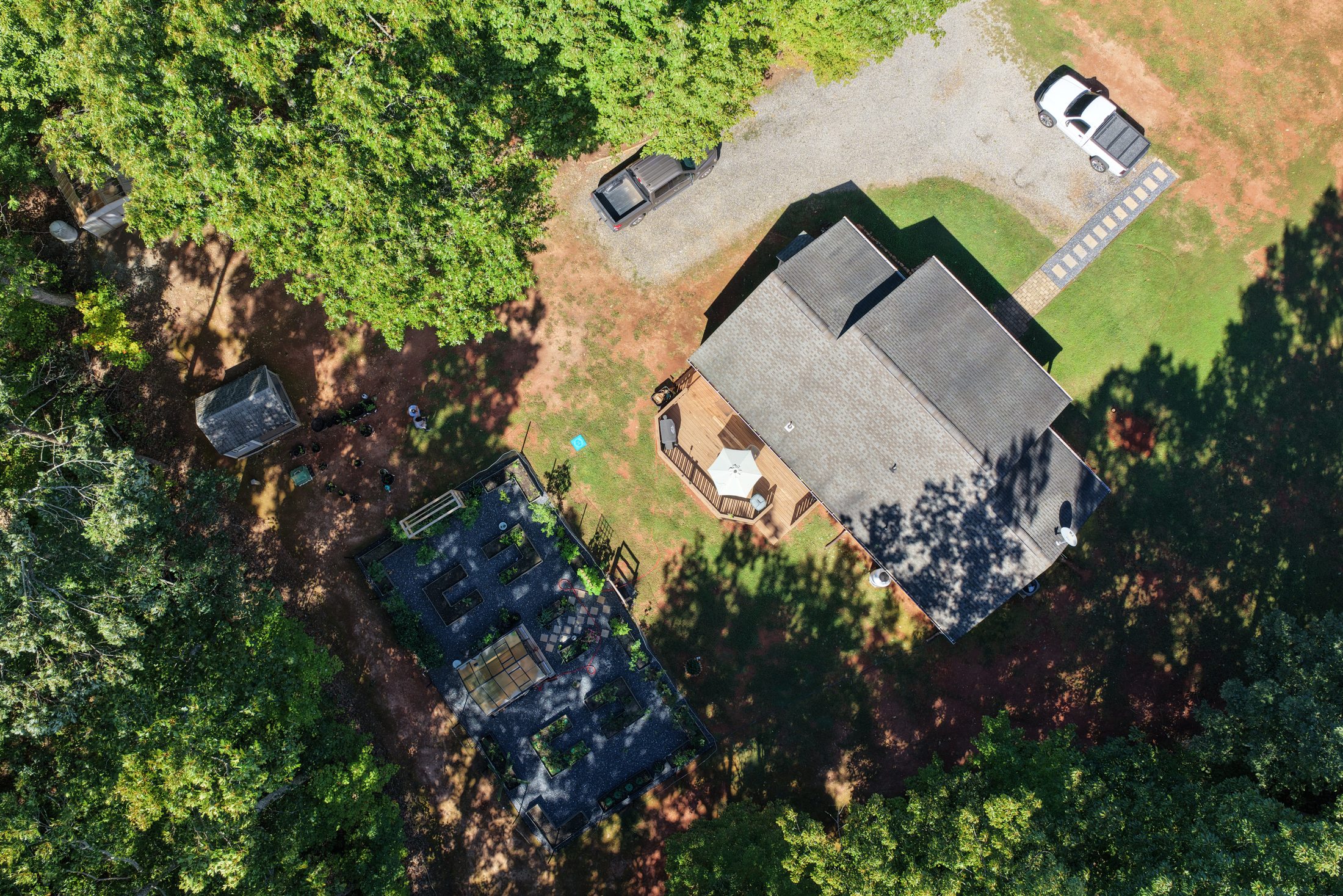
Show the property, its setting and the bigger picture with aerial photography and video.
Keep owners and project teams informed with scheduled aerial updates.
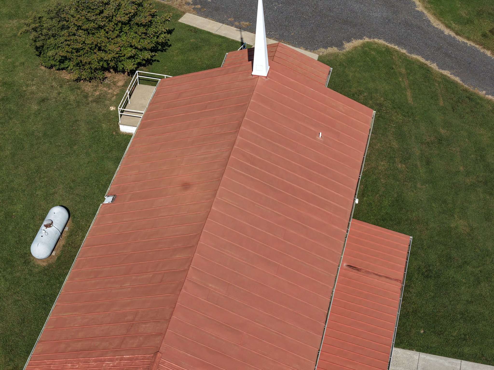
See roof surfaces and hard-to-reach exteriors through detailed visual records.
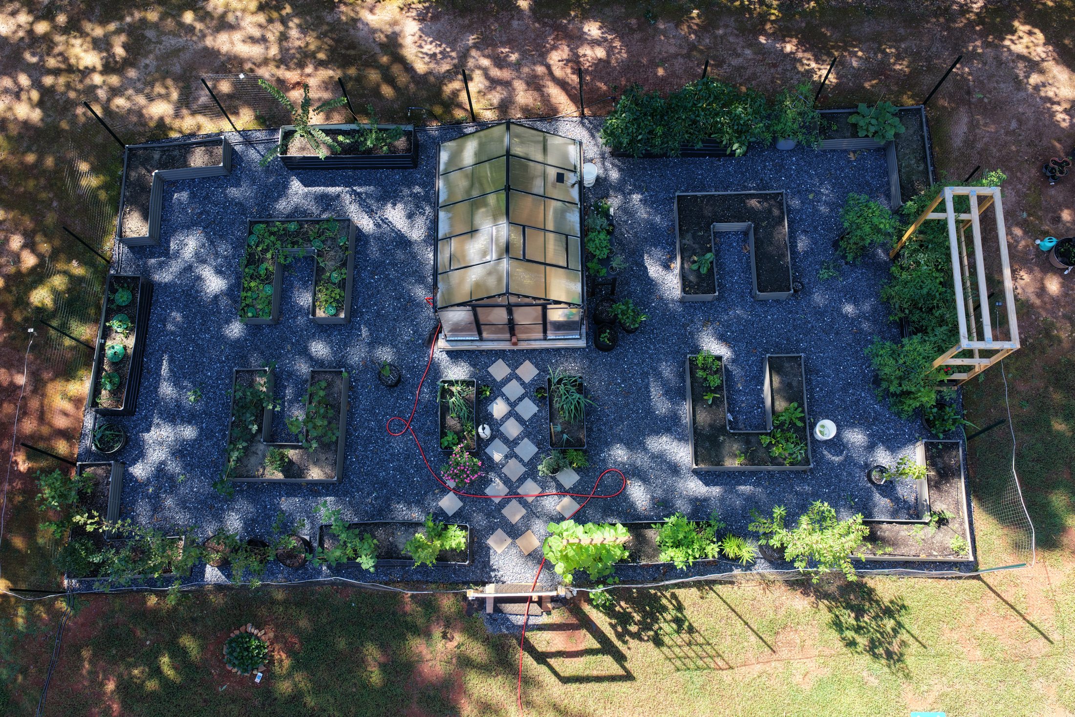
Document farms, pasture, vineyards, acreage and access from above.
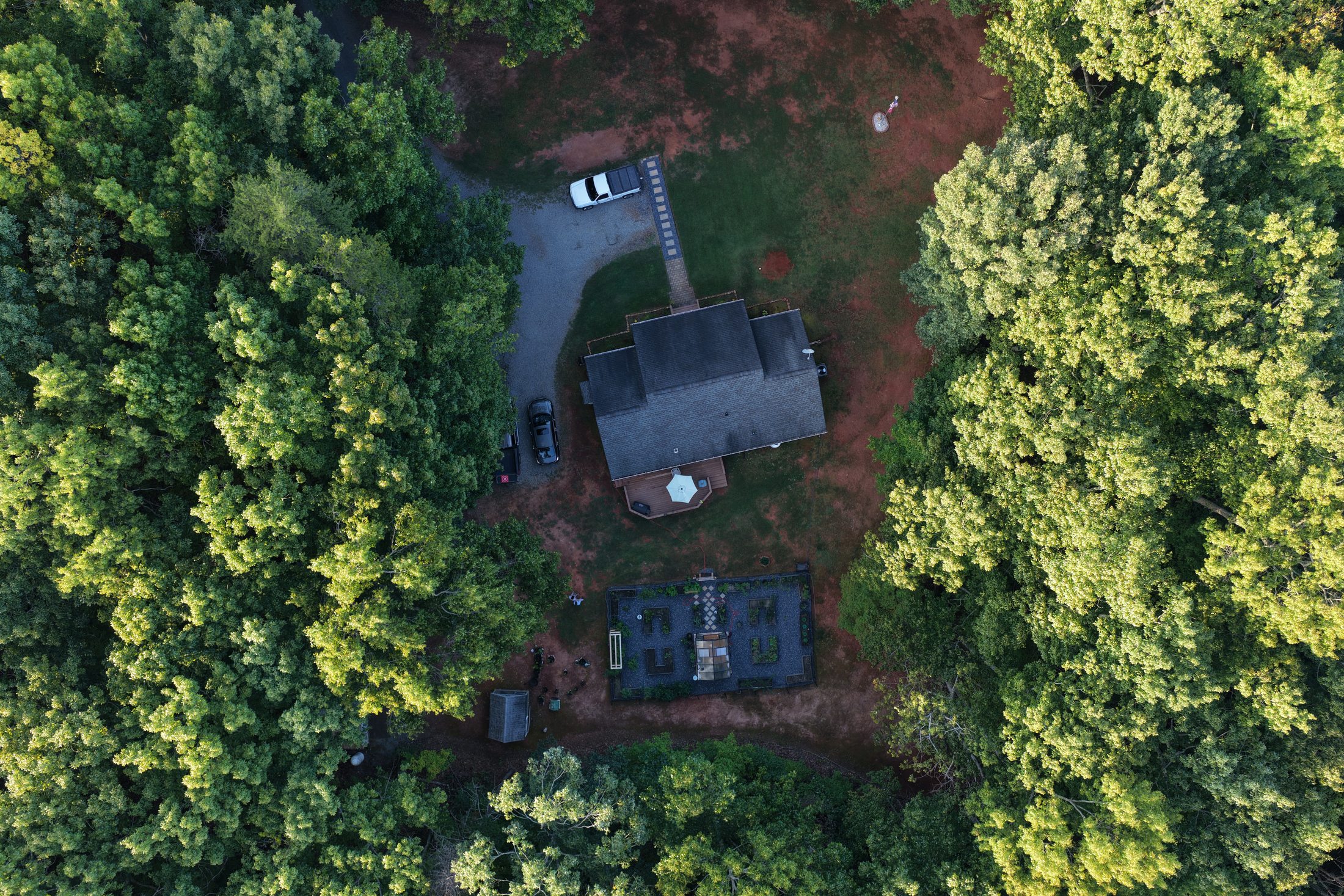
Establish a baseline. Return on a schedule. See what changes.
Baseline documentation and recurring aerial visits give property owners and project teams a useful history of visible conditions.
Explore Asset MonitoringDocument agreed areas and viewpoints at the first visit.
Monthly, quarterly or custom visits suited to your property.
Organized imagery and visual comparisons for your review.
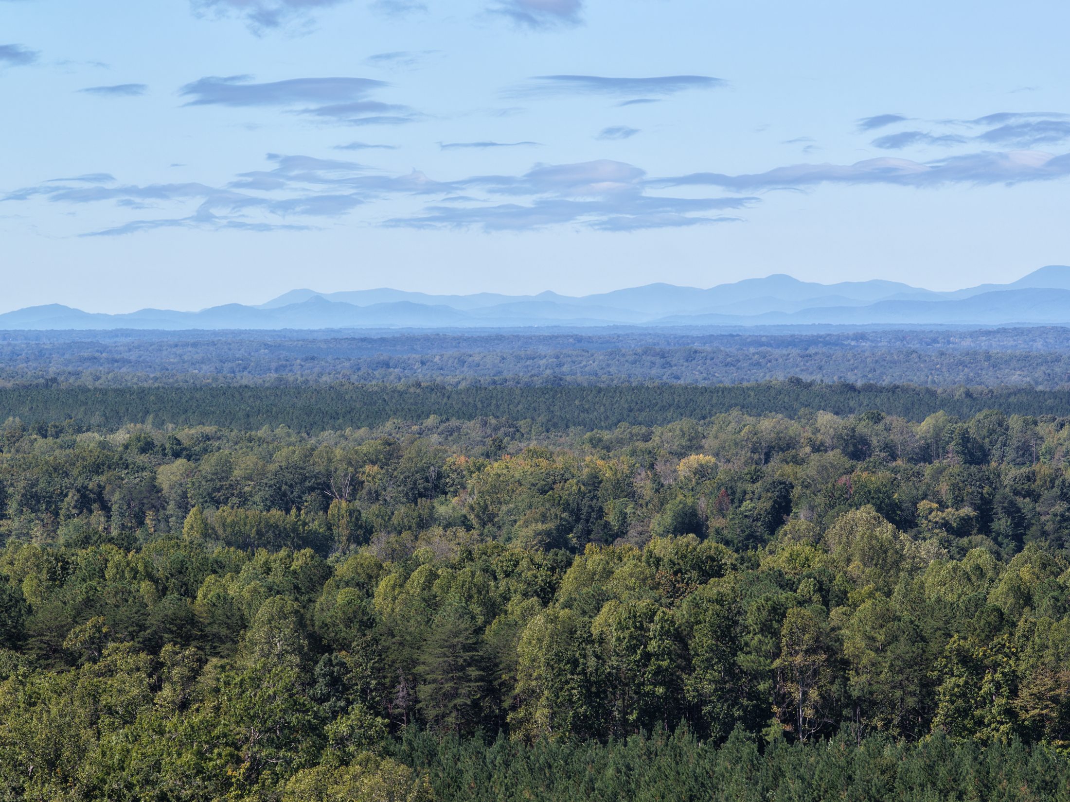
Marine veteran founded and family owned, RidgeVector Aerial focuses on understanding each client’s objective, planning each flight and delivering useful visual results.
Meet RidgeVector →