Farms & Pasture
Photograph fields, fencing context, access routes and visible ground conditions for property records.
Aerial photography and visual records for farms, vineyards, pasture and rural properties throughout Central Virginia.
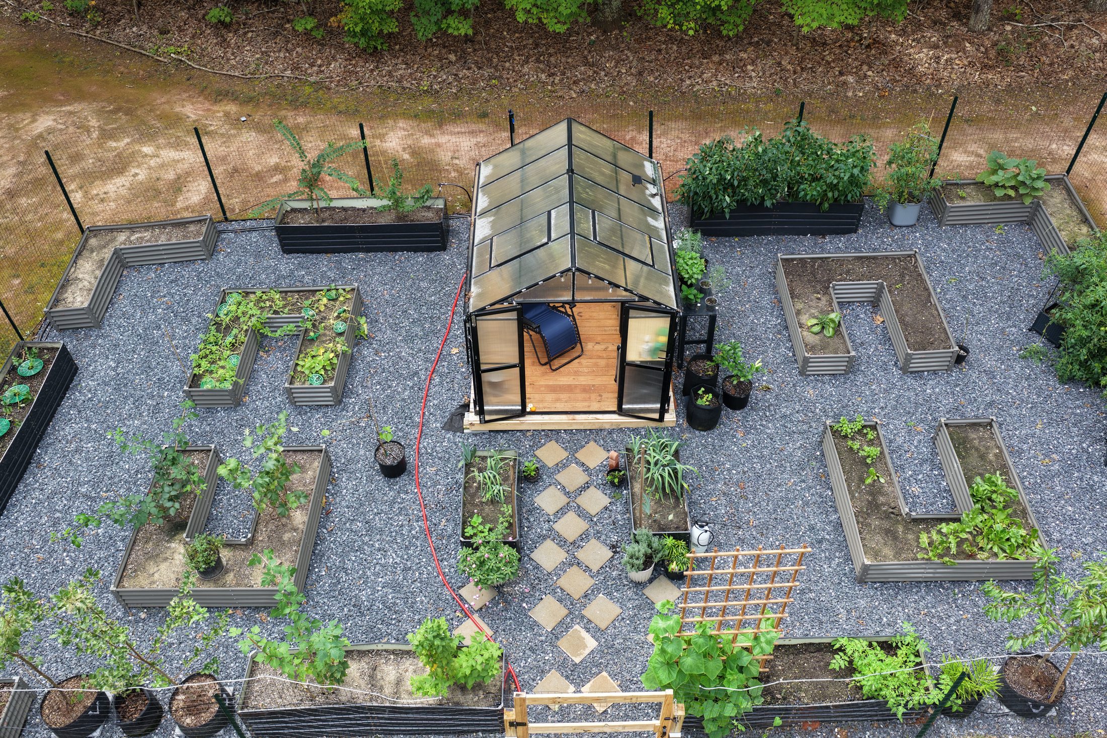
Document property context, visible conditions and seasonal changes. Aerial imagery helps communicate the scale and character of land while keeping a record of selected areas over time.
Photograph fields, fencing context, access routes and visible ground conditions for property records.
Show the setting, buildings and landscape for property documentation or marketing.
Record clearing, vegetation, access improvements and other visible changes with repeat visits.
Choose recurring documentation for the areas you want to revisit. RidgeVector Asset Monitoring provides a consistent framework for dated imagery and visual comparisons.
Explore Monitoring